

Projects
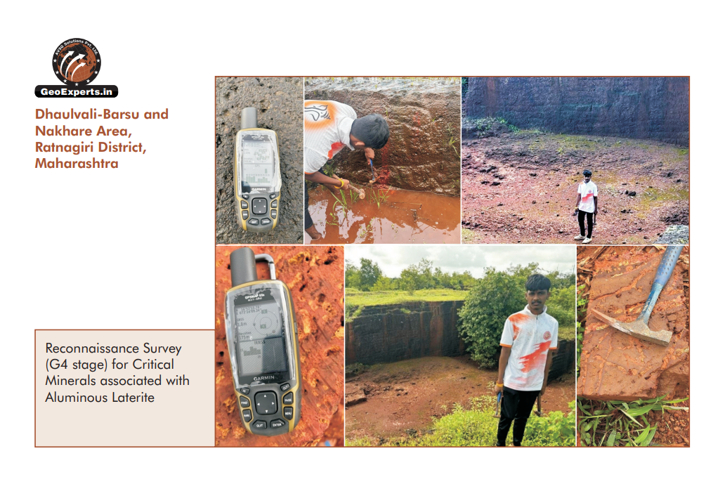
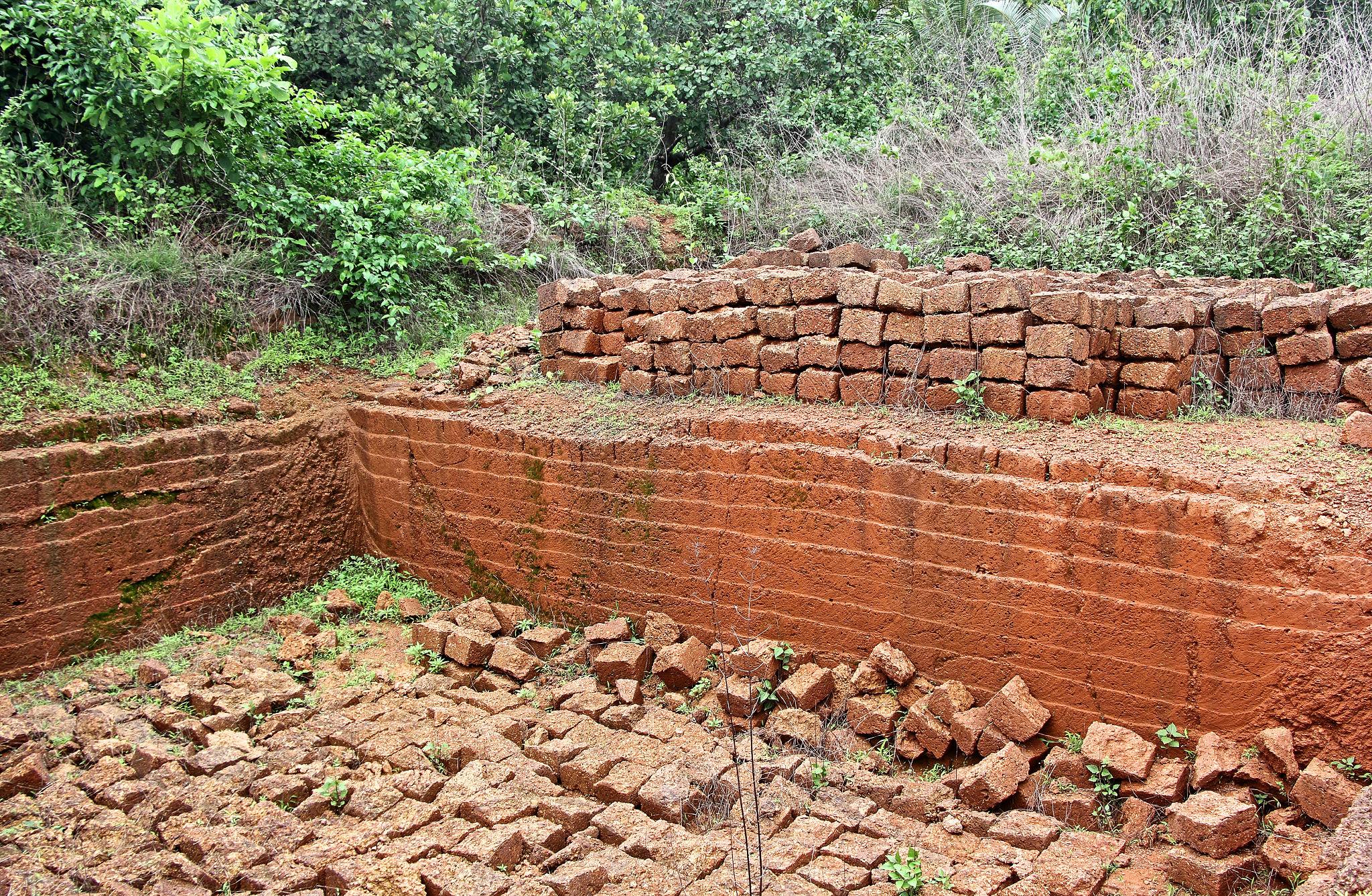
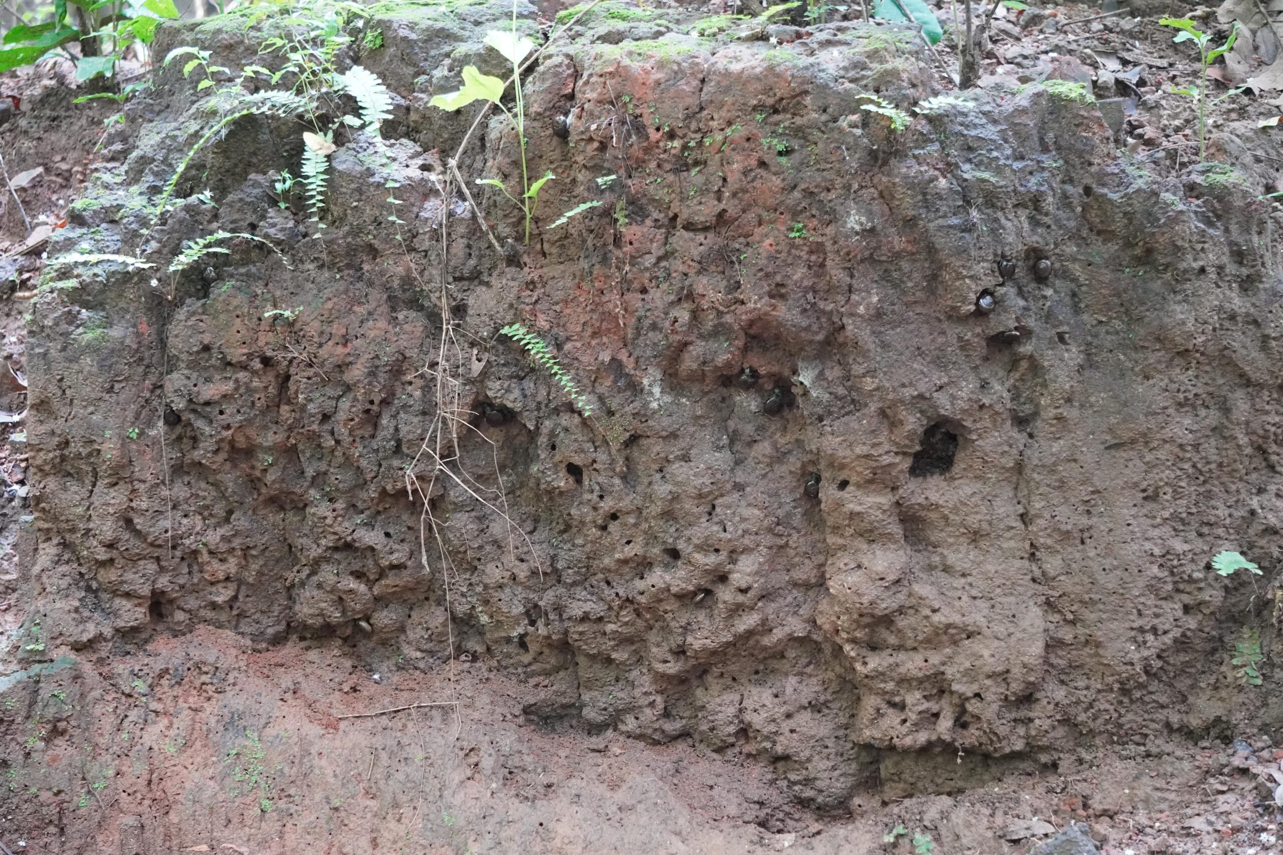
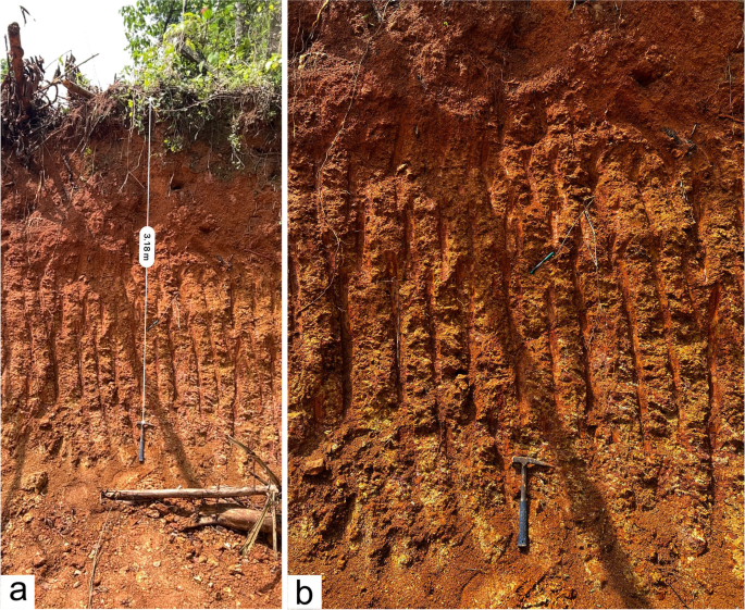
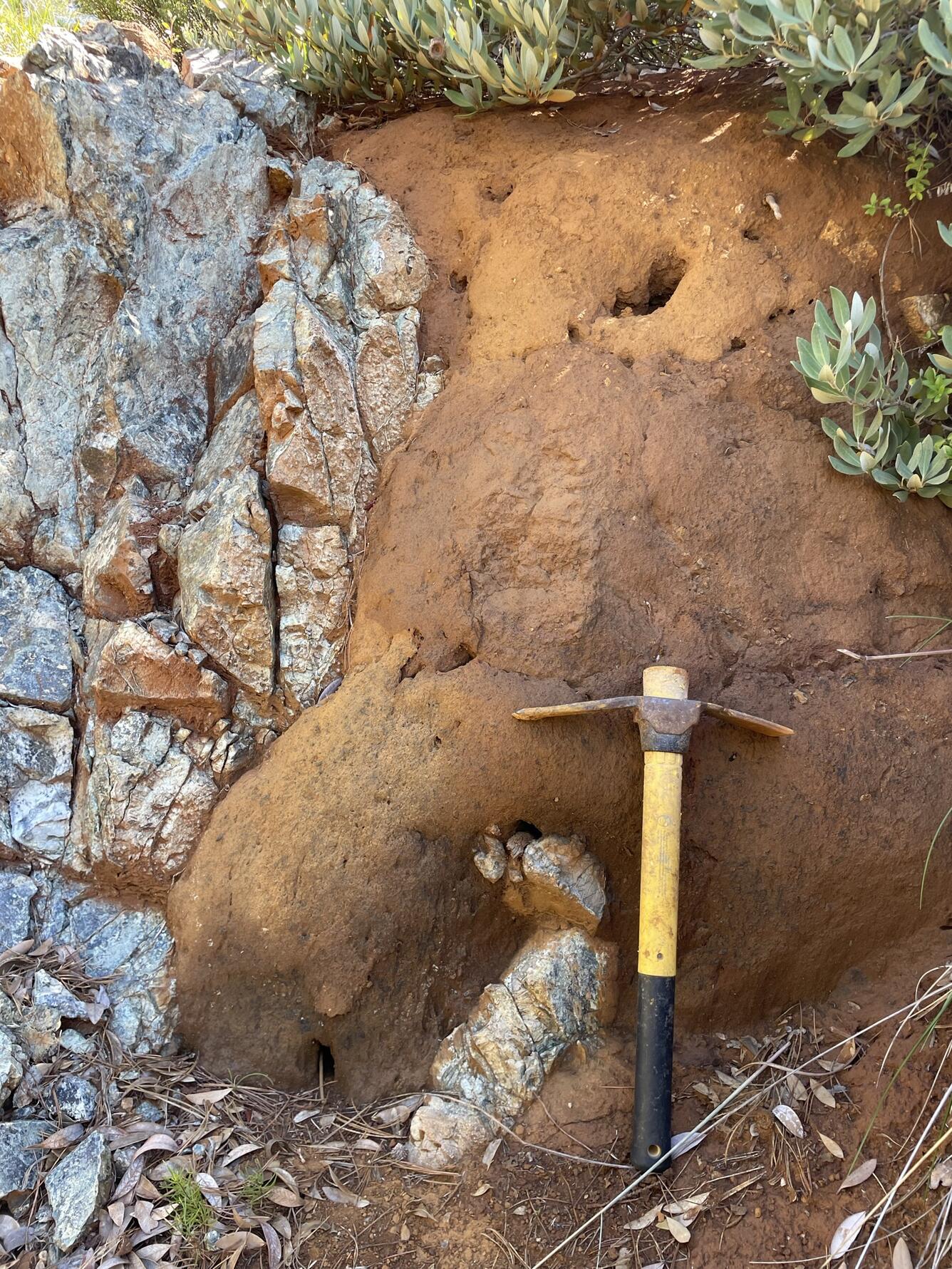
Dhaulvali-Barsu and Nakhare Area, Ratnagiri District, Maharashtra
Related Posts
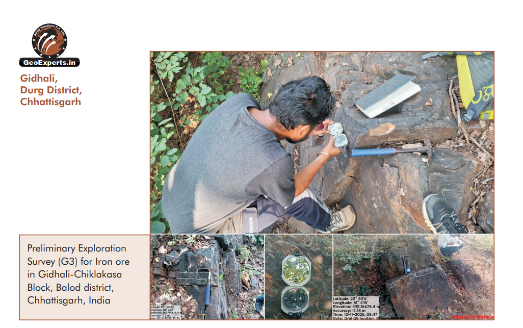
Gidhali, Durg District, Chhattisgarh
Preliminary Exploration Survey (G3) – Iron OrePreliminary Exploration Survey (G3) conducted for Iron Ore at Gidhali–Chiklakasa Block, B...
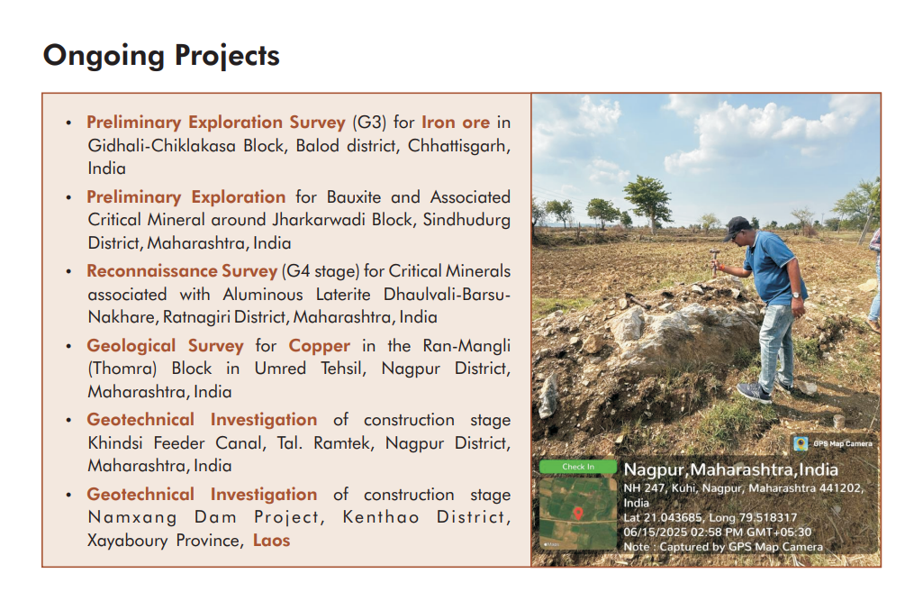
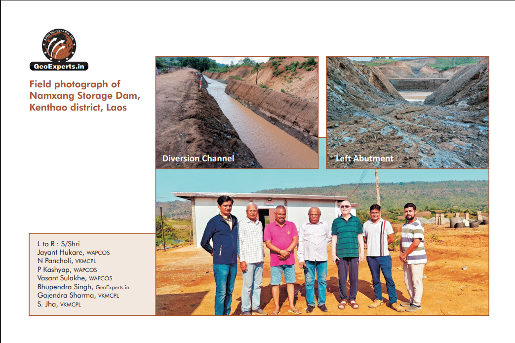
Ongoing Projects
Mineral Exploration (G4–G1)We provide complete mineral exploration services from reconnaissance to detailed investigation.Our work foll...
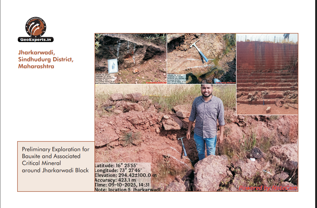
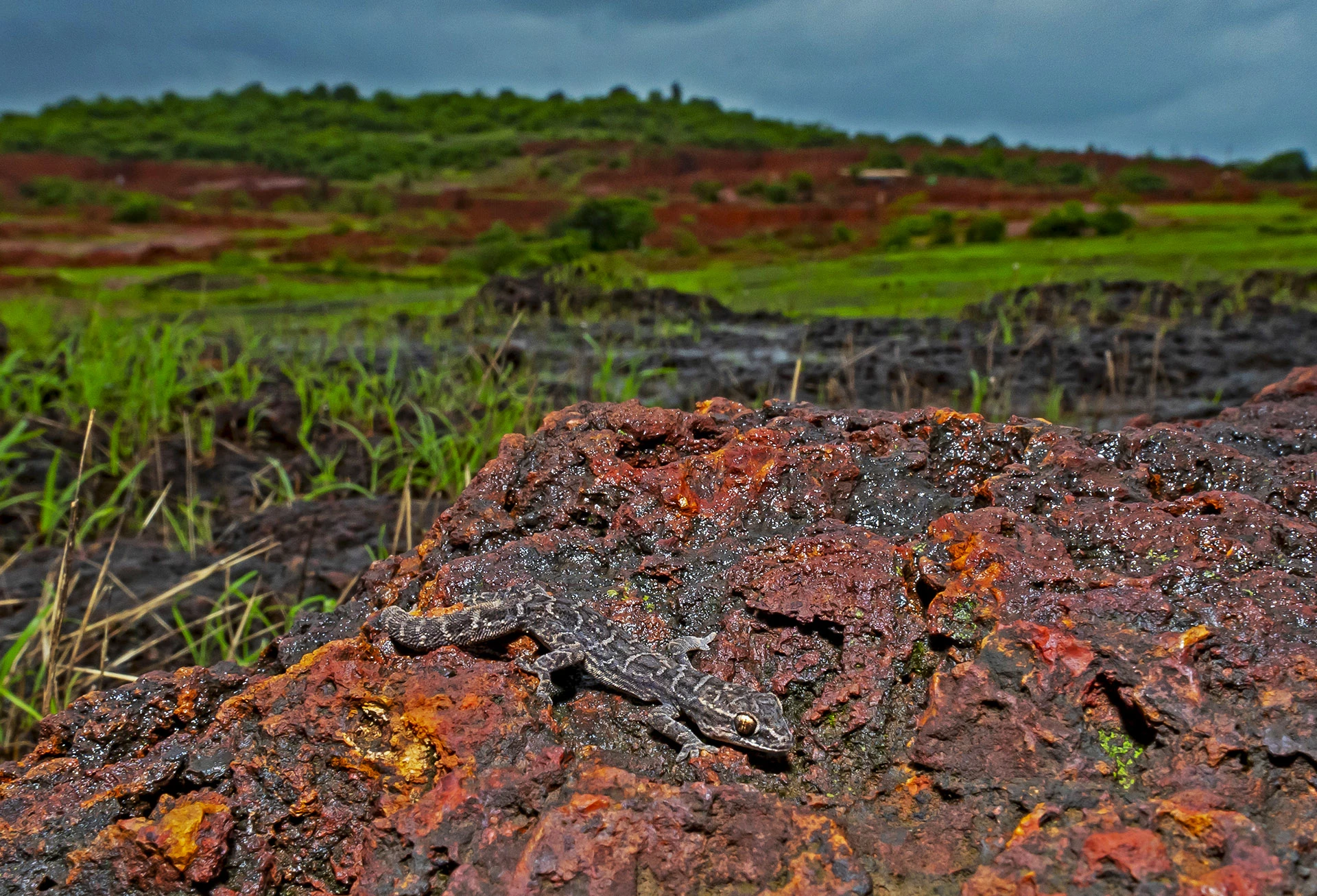
Jharkarwadi, Sindhudurg District, Maharashtra
When it's about controlling hundreds of articles, product pages for web shops, or user profiles in social networks, all